Where is Albania Located? A Geographic Guide to the Balkan Gem
Albania occupies a strategic position in Southeast Europe that combines mountain wilderness with Mediterranean coastlines in a way few European destinations can match. The country sits on the western edge of the Balkan Peninsula, where continental Europe meets the Adriatic and Ionian Seas, creating a geographic crossroads that has shaped its history and culture for millennia.
For travelers planning to explore Albania by rental car, understanding its geographic position reveals why driving distances are shorter than they appear on maps and how diverse landscapes compress into a territory roughly the size of Belgium. Within two hours from Tirana, you can reach either alpine trails or beach resorts - a convenience that makes Albania uniquely suited for road trip exploration.
Albania's Position on the European Continent
Albania is located in southeastern Europe at coordinates approximately 41 degrees north latitude and 20 degrees east longitude. The country occupies 28,748 square kilometers of the western Balkan Peninsula, positioned directly across the Adriatic Sea from the heel of Italy - Puglia lies just 72 kilometers west at the Strait of Otranto.
The Balkan Peninsula itself extends southward from Central Europe into the Mediterranean basin, and Albania claims the peninsula's western shoreline for 362 kilometers along the Adriatic coast to the north and the Ionian coast to the south. This dual-sea access gives Albania a maritime character despite its mountainous interior - 70 percent of the country sits above 300 meters elevation.
Albania's location places it squarely within the Mediterranean climate zone along the coast, where hot dry summers and mild wet winters prevail, while the interior mountains experience a more continental pattern with significant snowfall. The capital Tirana sits at 110 meters elevation in a valley that channels warm air from the coast, creating a microclimate warmer than the surrounding highlands.
Historically, this geographic position made Albania a meeting point of Roman and Byzantine empires, a frontier between Christianity and Islam during Ottoman rule, and a buffer zone during the Cold War. Today, the location offers travelers access to diverse UNESCO sites, from coastal Butrint to mountain Gjirokastra, within a day's drive.
Borders and Neighboring Countries
Albania shares land borders with four countries across 717 kilometers of frontier terrain. Montenegro borders Albania to the northwest for 172 kilometers, with the border running through Lake Shkodra - one of the Balkans' largest freshwater lakes - and crossing the Accursed Mountains (Bjeshket e Namuna) where peaks exceed 2,500 meters. The Hani i Hotit border crossing on road E851 connects Shkodra with Podgorica 40 kilometers north.
Kosovo lies to the northeast along a 112-kilometer border that follows mountain ridges of the Korab massif. The Morina-Vермица crossing on road SH5 links Kukes with Prizren, while the newer Qafe Morine checkpoint serves growing traffic. This border opened for vehicle transit in 1999, transforming previously isolated northern Albanian towns into transit hubs.
North Macedonia borders Albania to the east for 181 kilometers through the Lake Ohrid region and across parallel mountain ranges. The Qafe Thane-Sveti Naum crossing south of Ohrid carries tourist traffic, while the Blato checkpoint north of the lake serves commercial vehicles on European route E65. Lake Ohrid itself straddles the border - one of Europe's oldest and deepest lakes at 294 meters.
Greece forms Albania's longest border at 282 kilometers to the south and southeast. The Kakavija-Ktismata crossing on road SH4 handles the heaviest traffic between southern Albania and Corfu ferry connections, while the Kapshtica-Krystallopigi checkpoint east of Gjirokastra serves routes toward Thessaloniki. The Konispol-Sagiada crossing provides coastal access near the Butrint archaeological site.
Coastal Geography: Adriatic and Ionian Seas
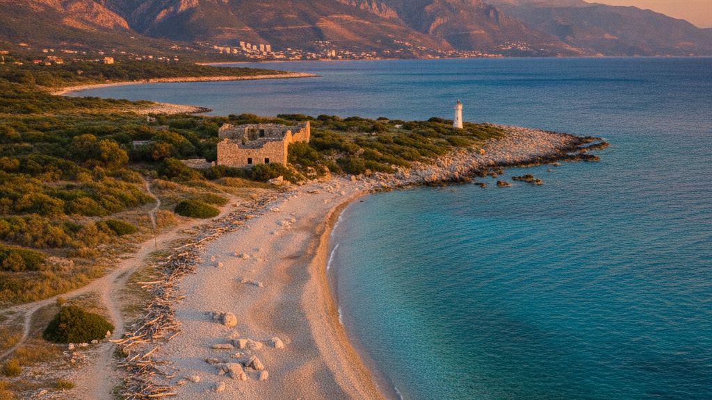
Albania's 362-kilometer coastline divides into two distinct sections where the Adriatic Sea meets the Ionian Sea at the Karaburun Peninsula near Vlora. The Adriatic coast extends 150 kilometers from the Montenegro border south to Vlora Bay, characterized by sandy beaches, river deltas, and the extensive Karavasta Lagoon - a Ramsar wetland that hosts flamingo colonies and Dalmatian pelican populations.
The northern Adriatic section around Durres features the widest beaches and shallowest waters, with the seabed sloping gradually westward. Water temperatures reach 26-28 degrees Celsius in July and August, while wave action remains minimal due to the enclosed Adriatic basin. The ports of Durres and Shengjin serve ferry routes to Italy - Durres to Bari covers 200 nautical miles in 8-9 hours.
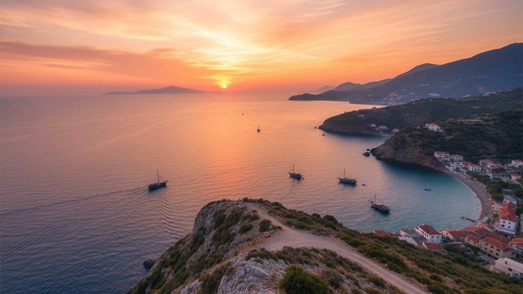
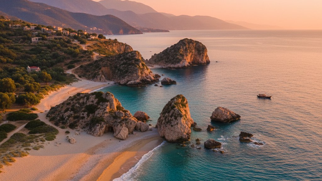
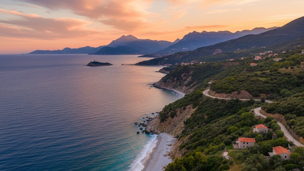
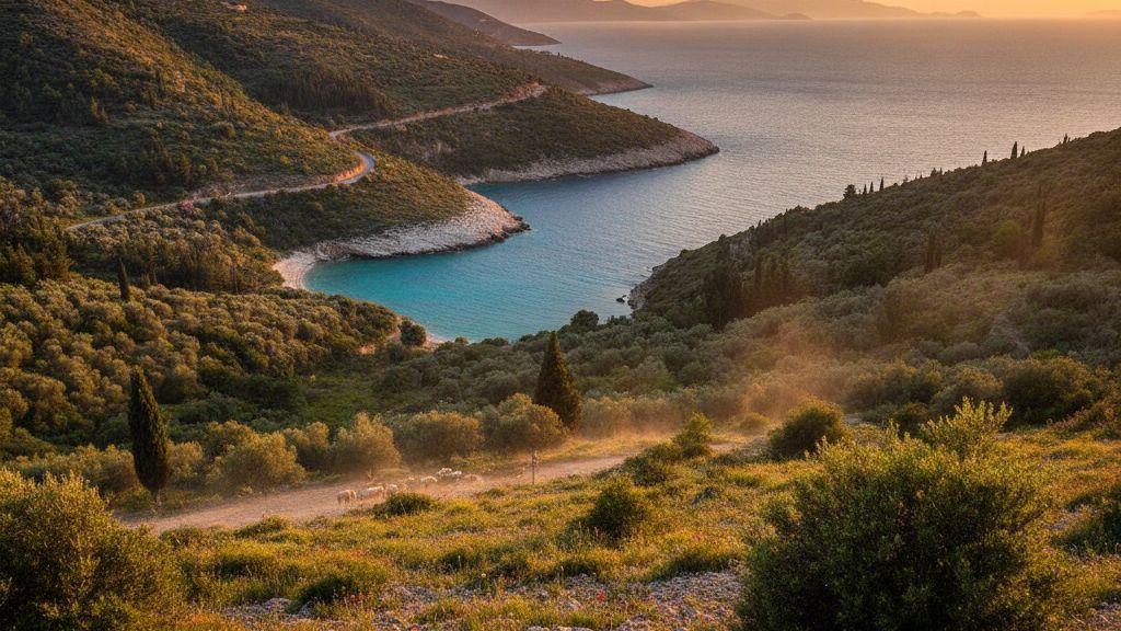
South of Vlora, the Ionian coast runs 212 kilometers to the Greek border, defining what tourism promoters call the Albanian Riviera. Here the topography shifts dramatically - the Ceraunian Mountains plunge directly into deep blue water, creating dramatic cliff scenery, hidden coves, and pebble beaches accessed by winding coastal road SH8. Villages like Dhermi, Himara, and Borsh cling to steep slopes above beaches where water depth exceeds 100 meters just offshore.
The Karaburun-Sazan Marine Park protects 12,570 hectares of coastal waters and two uninhabited islands where Mediterranean monk seals occasionally appear. The Ionian waters around Saranda offer exceptional clarity for diving, with underwater visibility often exceeding 30 meters. The Vivari Channel separates mainland Albania from Corfu by just 3 kilometers at the narrowest point - on clear days, Greek mountains are visible from Albanian beaches.
Planning to drive Albania's coastal roads from Adriatic beaches to Ionian coves? Compare offers for economy and SUV rentals that handle both highway stretches and winding mountain passes with confidence.
Mountain Ranges and Interior Topography

Albania's interior consists of parallel northwest-to-southeast mountain ranges that cover 70 percent of the national territory. The Albanian Alps (Bjeshket e Namuna) dominate the north, where Maja Jezerca reaches 2,694 meters as the country's highest peak. This limestone massif features karst topography - deep canyons, underground rivers, and the Blue Eye spring near Theth where glacial meltwater emerges from caverns.
The central mountain belt includes the Skanderbeg range and the Tomorr massif, with peaks averaging 2,000-2,400 meters. These mountains channel three major river systems - the Drin flowing north to the Adriatic, the Shkumbin running west through central Albania, and the Vjosa coursing southwest as one of Europe's last undammed rivers. The Vjosa flows 272 kilometers from Greek headwaters to the Adriatic delta, carrying sediment that built the coastal plain around Vlora.
Southern Albania features the Pindus mountain continuation, where Greek and Albanian peaks merge across the border. The Gramoz massif reaches 2,520 meters, while the Nemercka range parallels the coast inland from Saranda. Between mountain blocks, tectonic basins like Korca at 869 meters and Gjirokastra at 300 meters create highland plains with distinct microclimates - Korca experiences continental winters with reliable snow, while Gjirokastra enjoys Mediterranean warmth despite its elevation.
Road engineering follows valley corridors - the SH1 highway from Tirana to Kosovo climbs through the Drin Valley, while SH4 toward Greece navigates the Drino Valley. Mountain passes like Qafa e Tomorrit (1,050 meters) and Qafa e Llogarase (1,027 meters) require switchback climbing, making 4x4 rentals advisable for northern routes beyond paved highways. The dramatic Llogara Pass descends 800 meters in 10 kilometers from plateau to Ionian coast, offering panoramic views across the Ionian Sea to Corfu.
Regional Districts and Main Cities
Albania divides administratively into 12 qarqe (counties) that correspond to historical regions and geographic zones. Tirana County encompasses the capital and surrounding valleys, hosting 912,000 residents - nearly one-third of Albania's 2.8 million population. Tirana International Airport Nene Tereza (TIA) lies 17 kilometers northwest of the city center at Rinas, serving as the primary entry point for international visitors.
Durres County on the central coast includes Albania's largest port and second-largest city, Durres, with 201,000 inhabitants. The port handles 3.5 million tons of cargo annually and connects Albania to Italy via daily ferry services. Ancient Dyrrachium was the western terminus of the Via Egnatia, the Roman road linking the Adriatic to Constantinople.
Shkodra County in the northwest centers on Shkodra city (135,000), positioned between Lake Shkodra and the Albanian Alps. The lake spans 368 square kilometers at high water, with two-thirds in Albania and one-third in Montenegro. Shkodra serves as the gateway to northern mountain tourism - the 25-kilometer unpaved road to Theth National Park begins here.
Vlora County occupies the central coast where Adriatic meets Ionian, with Vlora city (141,000) overlooking the bay. The Karaburun Peninsula extends 16 kilometers into the sea, creating Albania's only true peninsula and protecting Vlora Bay from winter storms. The Llogara National Park begins 30 kilometers south, where coastal road SH8 crosses into Ionian territory.
Fier County inland from Vlora includes the ancient city of Apollonia, founded by Greek colonists in 588 BC. The archaeological park preserves Illyrian walls, Roman monuments, and a Byzantine monastery. Fier city (120,000) serves as an agricultural center - the Myzeqe plain west of the city produces vegetables, fruit, and tobacco on irrigated lowlands.
Korca County in the southeast highlands borders Greece and North Macedonia. Korca city (75,000) sits at 869 meters elevation on a plateau famous for beer brewing and traditional music. Winter temperatures regularly fall below freezing - the city receives 50-80 centimeters of snow annually, creating conditions unlike coastal Albania.
Gjirokastra County in the south includes the UNESCO-listed stone city of Gjirokastra and the coastal town of Saranda (41,000). Saranda lies 14 kilometers from Butrint archaeological site, a UNESCO World Heritage location spanning 2,500 years from Greek colony to Venetian fortress. The closest Albanian city to Corfu, Saranda serves as a departure point for Greek island ferries.
| City | Population | Elevation | Distance from Tirana | Key Features |
|---|---|---|---|---|
| Tirana | 912,000 | 110 m | - | Capital, airport hub, cultural center |
| Durres | 201,000 | 0-10 m | 33 km W | Main port, beach resort, Roman amphitheater |
| Vlora | 141,000 | 0-30 m | 147 km SW | Adriatic-Ionian junction, independence monument |
| Shkodra | 135,000 | 10-50 m | 91 km N | Lake access, Alps gateway, Rozafa Castle |
| Fier | 120,000 | 10-20 m | 82 km S | Agricultural hub, Apollonia ruins nearby |
| Korca | 75,000 | 869 m | 179 km SE | Highland plateau, winter sports, breweries |
| Saranda | 41,000 | 0-20 m | 284 km S | Ionian resort, Butrint access, Corfu ferries |
Climate Zones and Best Travel Seasons
Albania's location within the Mediterranean climate belt creates distinct seasonal patterns that vary dramatically between coast and mountains. The coastal lowlands experience hot dry summers with July temperatures averaging 28-32 degrees Celsius and minimal rainfall from June through August - coastal resorts receive less than 20 millimeters combined precipitation during these months.
Winter along the Adriatic and Ionian coasts remains mild, with January averaging 10-12 degrees Celsius. Snow is rare below 200 meters elevation - Saranda experiences frost only 2-3 nights per year. Rainfall peaks November through February, when Atlantic depressions cross the Mediterranean, bringing 150-250 millimeters monthly to western Albania. The Ionian coast receives more winter rain than the Adriatic due to orographic effects as weather systems strike the Ceraunian Mountains.
Interior valleys like Tirana experience transitional climate - summers reach 35 degrees on occasion, while winter nights drop to -5 to -10 degrees. Tirana receives 1,360 millimeters annual precipitation, with autumn and spring as the wettest seasons. The mountains shield the capital from direct Adriatic influence, creating temperature extremes greater than purely coastal locations.
Mountain regions above 1,000 meters experience continental conditions. The Albanian Alps receive 2,000-3,000 millimeters annual precipitation, falling as snow November through April. Theth valley at 780 meters remains snowbound December through March, with accumulations exceeding two meters at higher elevations. Summer in the mountains brings temperatures of 20-25 degrees - ideal hiking conditions when coastal areas exceed 35 degrees.
The optimal driving season for comprehensive Albania exploration runs May through June and September through October. Spring offers green landscapes, flowing waterfalls, and moderate temperatures before summer heat intensifies. Autumn provides stable weather, warm sea temperatures persisting from summer, and harvest festivals in wine regions. Beach-focused trips favor July-August despite heat, when Ionian water reaches 26-28 degrees and coastal villages buzz with activity.
Winter driving requires preparation - snow tires become mandatory November 1 through March 31 on mountain roads, and chains may be necessary for passes like Llogara. Northern routes to Theth and Valbona close completely under snow, reopening only in May. Winter advantages include empty beaches, affordable accommodation, and access to Dardha and Bigell ski areas near Korca, where basic lifts operate January through March.
FAQ
What continent is Albania located on and which region of Europe does it belong to?
Albania is located on the European continent in the southeastern region known as the Balkans or Balkan Peninsula. The country occupies the western edge of the Balkans with 362 kilometers of coastline along the Adriatic and Ionian Seas, positioned directly across from southern Italy. Albania shares the Balkan Peninsula with Greece, North Macedonia, Kosovo, Montenegro, Serbia, Bosnia-Herzegovina, Bulgaria, and the European portion of Turkey.
How far is Albania from major European cities and what are the typical driving distances?
From Tirana, you can drive to Athens in 7-8 hours covering 650 kilometers via the Kakavija border crossing. Thessaloniki lies 380 kilometers southeast, requiring 5-6 hours through mountain roads. Skopje in North Macedonia is 290 kilometers northeast - a 4-hour drive on road SH5. Podgorica in Montenegro sits 130 kilometers north, just 2 hours via Shkodra. Sofia, Bulgaria is 600 kilometers east requiring 8-9 hours through North Macedonia. Rome lies 850 kilometers northwest - travelers typically ferry from Durres to Bari then drive 4 hours north through Italy.
What is the total size of Albania and how does it compare to other European countries?
Albania covers 28,748 square kilometers, making it similar in size to Belgium (30,689 sq km) or slightly smaller than Maryland in the United States. Among Balkan countries, Albania is smaller than Serbia (88,361 sq km), Greece (131,957 sq km), and Bulgaria (110,879 sq km), but larger than Kosovo (10,887 sq km), North Macedonia (25,713 sq km), and Montenegro (13,812 sq km). Despite its modest size, Albania's topography creates the impression of a larger country - mountain barriers extend effective driving distances significantly beyond straight-line measurements.
Which airports serve Albania and how far are they from main tourist destinations?
Tirana International Airport Nene Tereza (TIA, IATA code TIA) at Rinas serves as Albania's primary international gateway, located 17 kilometers northwest of Tirana center. From TIA, Durres lies 40 kilometers west (35-40 minutes), Shkodra 89 kilometers north (1.5 hours), Vlora 160 kilometers southwest (2.5 hours), and Saranda 295 kilometers south (4-4.5 hours via coastal road SH4). Kukes Airport in the northeast handles limited domestic traffic. Some travelers fly to Corfu Airport in Greece (CFU), then ferry to Saranda - the 30-minute boat crossing offers an alternative entry point for southern Albania exploration.
What is the driving distance from Tirana Airport to popular destinations and what road conditions should I expect?
From Tirana Airport TIA to Tirana center requires 25-35 minutes via SH60 and the Tirana Ring Road - the route is entirely paved and well-lit. To Durres, take A1 motorway west for 40 kilometers (35-40 minutes) - Albania's only true motorway with two lanes each direction. Reaching Vlora covers 147 kilometers on SH4, requiring 2.5-3 hours through mountain terrain with the dramatic Llogara Pass descent. Saranda lies 284 kilometers south, a 4.5-5 hour drive via SH4 and SH8 Riviera road - the coastal section features numerous curves and elevation changes. Shkodra is 91 kilometers north on SH1 (1.5 hours), while Berat sits 122 kilometers southeast on SH4 and SH72 (2-2.5 hours). All main routes are paved, but secondary mountain roads require 4x4 vehicles outside summer months.