Best Hiking Routes in Albania for Adventure Seekers
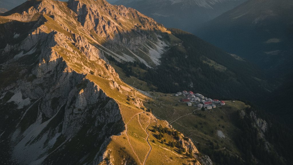
Albania sits on the western edge of the Balkan Peninsula as one of Europe's least explored hiking destinations. Between the limestone peaks of the Albanian Alps in the north and the Mediterranean coastline in the south, the country offers terrain that shifts from high-altitude passes to coastal ridges within a single day's drive. The trails here connect stone villages that follow building techniques unchanged since Ottoman times, cross rivers that carve through valleys untouched by industrial development, and climb to viewpoints where the Adriatic Sea meets mountain ranges that receive snow into May.
This guide examines five hiking routes that represent the range of landscapes available to walkers in Albania. Each trail has been selected for a specific combination of accessibility, scenic value, and the connection it provides to Albania's mountain culture. Whether you're planning a multi-day trek through the Accursed Mountains or a half-day walk to a natural spring, understanding the terrain, seasonal conditions, and access points will determine the success of your hiking experience in Albania.
The Valbona to Theth Mountain Pass
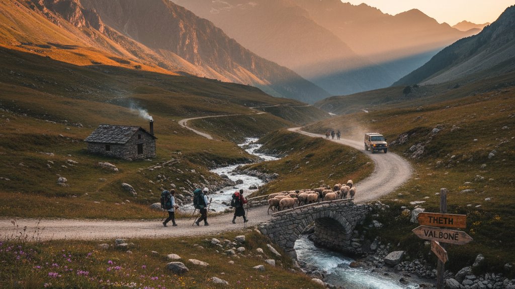
The Valbona to Theth trail crosses the Valbona Pass at 1815 meters, connecting two valleys that were isolated from each other by road until recently. The 16-kilometer route takes 7 to 8 hours for most hikers, climbing 730 meters from Valbona village before descending 850 meters into Theth. The trail follows a former mule route that villagers used to trade between valleys when snow closed the high passes for six months each year.
The path begins in Rragam, 7 kilometers up-valley from the guesthouses of Valbona. The first three hours climb through beech forest and then alpine meadows where shepherds graze sheep from June through September. The pass itself offers views in both directions: north toward the 2694-meter peak of Jezerca, Albania's second-highest mountain, and south across the Theth valley to the limestone walls of the Shtegu i Dhenve ridge.
On the descent toward Theth, the trail passes stone shepherds' huts at Peja e Bajraktareve before entering the upper section of the Theth valley. The final kilometers follow the Theth River past the kulla towers that mark the village - stone fortifications that served as defensive homes during the blood feud periods governed by the Kanun code of customary law. Most hikers arrange guesthouse accommodation in Theth and either continue hiking in the area or take a 4x4 shuttle back to Shkodra over the mountain road that opened in 2018.
Llogara Pass Coastal Ridgeline
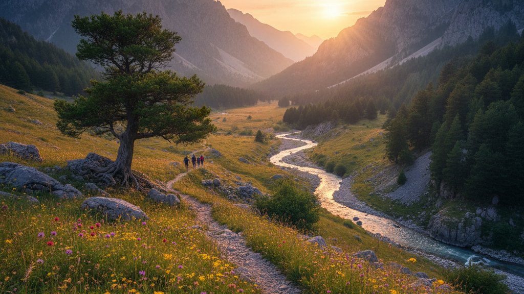
The Llogara Pass trail follows the ridgeline of Llogara National Park at 1027 meters, where the Ceraunian Mountains drop directly to the Ionian Sea. The 7-kilometer route takes 3 to 4 hours and can be walked in either direction, though most hikers start from the southern end at Caesar's Pass viewpoint to walk downhill toward the main Llogara Pass area on the SH8 highway.
This trail provides the clearest example of Albania's Mediterranean mountain ecosystem, where black pine forests grow on slopes that receive sea winds throughout the year. The path stays close to the ridgeline, offering continuous views west across the Ionian Sea toward Corfu and south along the Albanian Riviera coastline from Palase to Dhermi. On clear days, the view extends 40 kilometers south to the Karaburun Peninsula.
The trail passes through sections where Pinus nigra grows at angles shaped by constant wind exposure. Wildlife in the area includes golden eagles that nest on the coastal cliffs and wild boar that move between the forest and the maquis shrubland at lower elevations. The route ends near the restaurant area at Llogara Pass, where the road begins its descent toward Dhermi through 11 kilometers of hairpin turns. Hikers often combine this walk with a rental car pickup in Vlora to access both the trailhead and coastal destinations afterward.
Pellumbas Cave and Canyon Trail
The Pellumbas Cave sits in the gorge of the Erzen River, 27 kilometers southeast of Tirana. The trail to the cave follows the canyon bottom for 1.5 kilometers from Pellumbas village, gaining 120 meters in elevation over terrain that takes one hour to cover. The cave itself extends 360 meters into the limestone cliff face, with a main chamber that reaches 25 meters in height.
Geological surveys date the cave's formation to the Pleistocene epoch, and archaeological excavations in 2005 uncovered stone tools and animal remains indicating human use between 10,000 and 30,000 years ago. The interior contains active stalactite and stalagmite formations, though the front chambers have been damaged by visitors over decades when the site had no formal management. Since 2018, the cave has had seasonal supervision, and lighting has been installed in the first 50 meters.
The approach trail follows the river upstream through a canyon where the walls close to within 3 meters at certain points. During spring runoff from March to May, the river can flood sections of the trail, making the cave temporarily inaccessible. The best hiking conditions occur from June through October, when water levels drop and the canyon provides shade during the midday heat. The trail difficulty qualifies as easy, with families regularly making the walk with children over age six.
Planning to explore multiple regions of Albania? Consider renting a car in Shkodra as a base for reaching northern mountain trailheads while keeping access to coastal areas within a day's drive.
The Blue Eye Spring Access Route
The Blue Eye spring emerges from an underground river system at the base of the Muzine mountains, 22 kilometers east of Saranda. The 3-kilometer trail from the parking area takes 45 minutes to one hour, following the outflow channel downstream through riparian forest before circling back to the spring itself. The water maintains a constant temperature of 10 degrees Celsius year-round and creates a pool more than 50 meters deep where the underground flow surfaces.
The spring's distinctive appearance comes from the depth of the pool and the clarity of the water, which combine to create an intense blue color that shifts based on sunlight angle and surface movement. The surrounding forest contains oak, plane tree, and willow species that depend on the constant moisture. The trail system includes a wooden boardwalk around the main spring and a longer loop through the forest that adds one kilometer to the walk.
Tourist development at the Blue Eye increased significantly after 2015, with the spring now receiving several hundred visitors daily during July and August. The site charges an entrance fee of 100 leke (approximately one euro), and facilities include parking, toilets, and cafes near the trailhead. Early morning visits before 9:00 AM or late afternoon after 5:00 PM offer the best conditions for photography and reduce crowding at the spring viewpoints. The trail qualifies as easy terrain suitable for all fitness levels.
Dajti Mountain Summit Circuit
Dajti Mountain rises to 1613 meters directly east of Tirana, forming the backdrop visible from the capital. The summit circuit trail covers 7 kilometers and takes 3 to 4 hours, starting from the Dajti Express cable car upper station at 1200 meters. The route can also be accessed by the mountain road from the village of Linze, though most hikers use the cable car to avoid the 17-kilometer road ascent.
The trail follows a loop that circles the summit area through mixed forest of black pine, beech, and fir. Viewpoints along the route provide perspectives in all directions: west across Tirana and the coastal plain to the Adriatic Sea 40 kilometers away, east toward the Bovilla reservoir and the higher peaks of Maja e Diellit, and south along the Erzeni valley toward Elbasan. On clear winter days when air pollution drops in Tirana, the view extends to the Karaburun Peninsula 90 kilometers south.
The summit area contains the remains of a Yugoslav-era military installation and several telecommunications towers. The terrain includes limestone exposures where the karst topography creates sinkholes and dry valleys. Wildlife populations on Dajti include roe deer, wild boar, and seasonal movement of brown bears from the higher mountains to the east. The trail difficulty rates as moderate due to the elevation gain between the cable car station and the summit, though the path itself remains well-maintained and clearly marked throughout the circuit.
Trail Access and Vehicle Requirements
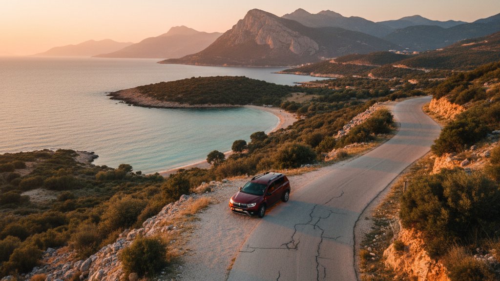
Reaching hiking trailheads in Albania requires understanding the country's road network and the capabilities of different vehicle types. The Valbona and Theth access roads both involve unpaved sections with loose gravel surfaces - the road into Valbona from Fierze covers 30 kilometers of mixed pavement and gravel, while the Theth road from Shkodra includes 24 kilometers of mountain road with steep grades. These routes require either a high-clearance vehicle or patience with a standard car during the dry season from June through September.
Trailheads near Tirana, including Pellumbas Cave and the Dajti cable car station, are accessible via paved roads suitable for any vehicle type. The Blue Eye near Saranda and the Llogara Pass trails can also be reached on paved highways. Hikers who plan to combine multiple trails across different regions benefit from selecting an appropriate vehicle category based on the most challenging road they'll encounter. A compact SUV provides sufficient clearance for most hiking access roads except during the spring mud season from March to May.
| Trail Name | Distance | Duration | Elevation Gain | Difficulty | Best Season | Road Access |
|---|---|---|---|---|---|---|
| Valbona to Theth | 16 km | 7-8 hours | 730 m up / 850 m down | Moderate | June to September | Gravel road both ends |
| Llogara Pass Ridge | 7 km | 3-4 hours | 200 m | Easy | April to October | Paved highway |
| Pellumbas Cave | 3 km round trip | 2 hours total | 120 m | Easy | June to October | Paved road to village |
| Blue Eye Spring | 3 km loop | 1 hour | 50 m | Easy | Year-round | Paved road |
| Dajti Summit | 7 km loop | 3-4 hours | 400 m from cable car | Moderate | May to October | Cable car or paved road |
Seasonal Conditions and Weather Patterns
Albania's hiking season varies significantly by elevation and proximity to the coast. The Albanian Alps, including the Valbona to Theth route, remain under snow from November through May, with the pass typically opening to hikers in early June. Mountain guesthouses in both Valbona and Theth operate from May to October, with peak season running July through September when trail conditions are most reliable and weather patterns stabilize.
Coastal and low-elevation trails, including Llogara Pass, the Blue Eye, and Pellumbas Cave, can be walked throughout the year, though summer temperatures from July to August often exceed 35 degrees Celsius in the midday hours. Spring hiking from April to June offers the best conditions for coastal trails, with moderate temperatures, flowing water in seasonal streams, and wildflower displays in the maquis vegetation. Autumn from September through November provides similar conditions with the addition of forest color changes at higher elevations.
Weather in the Albanian mountains can change rapidly, particularly on high-altitude trails. The Valbona Pass regularly experiences afternoon cloud buildup during summer months, reducing visibility and bringing brief rain showers. Hikers should carry waterproof layers even during the dry season and plan to start early morning crossings to reach the pass before typical 2:00 PM weather changes. Lightning poses a real hazard on exposed ridgelines - any sign of electrical storm development requires immediate descent to lower elevations or shelter in the stone huts along the trail.
Navigation, Maps, and Trail Marking
Trail marking in Albania varies from well-maintained international standards on popular routes to minimal or absent markers on less-traveled paths. The Valbona to Theth trail receives regular use and remains visible throughout its length, with rock cairns and sporadic red/white paint markers at key junctions. However, GPS navigation or downloaded offline maps provide essential backup, particularly in weather conditions that reduce visibility.
Several mapping applications provide coverage of Albanian hiking trails, with maps.me and Mapy.cz offering offline map downloads that include trail routes, elevation profiles, and user-generated waypoints. The OpenStreetMap database, which underlies these applications, has received significant updates for Albania between 2020 and 2023 through contributions from local hiking organizations and international volunteers. Paper maps at 1:25,000 scale are available from the Shkodra-based hiking outfitters for the Albanian Alps region.
Trail junctions on the Valbona to Theth route occur at the pass summit and at several points during the descent into Theth where secondary paths branch toward other villages. The correct route generally follows the most heavily worn path, but afternoon fog or early morning darkness can make trail finding difficult. Hikers should verify their position at key junctions using GPS coordinates rather than relying solely on trail markers that may be obscured by vegetation or weather damage.
Practical Hiking Requirements in Albania
What documents do you need for mountain hiking in Albania?
Foreign visitors need no special permits for day hiking on any of the five trails described in this guide. National park entry (including Llogara and Dajti) does not require advance registration, though some sites collect small entrance fees at access points. For overnight treks in the Albanian Alps that cross into border areas near Kosovo or Montenegro, hikers should carry passport identification as border police occasionally patrol high-altitude areas. The Valbona to Theth route stays well within interior territory and requires no documentation beyond standard visitor entry to Albania.
How physically demanding are these trails compared to Alps hiking?
The Valbona to Theth trail demands fitness levels comparable to moderate Alpine day hikes - the elevation gain and descent are significant but spread over distance with sustained grades rather than steep technical sections. Llogara Pass, the Blue Eye, and Pellumbas Cave rate as easy trails suitable for regular walkers without specific mountain experience. Dajti Mountain falls in between, with the summit circuit requiring moderate fitness but no technical skills. Altitude effects remain minimal as no trail exceeds 1850 meters, well below the threshold where acclimatization becomes necessary for most people.
Can you drink water from mountain streams in Albania?
Water quality in Albanian mountain streams depends on upstream land use. On the Valbona to Theth trail above 1400 meters, streams typically flow through unpopulated terrain and can be consumed after treatment with filtration or chemical purification. Below village elevations, livestock grazing contaminates water sources. The safest practice involves carrying sufficient water from guesthouses or treating all natural sources with either filter systems or iodine tablets. Springs at marked water points along trails (common in the Albanian Alps) generally provide reliable water, though seasonal users should observe local practice - if shepherds fill containers at a source, it typically indicates trusted water.
Do you need hiking insurance for trails in Albania?
Albania requires no mandatory hiking insurance, but comprehensive travel insurance with mountain rescue coverage makes sense for anyone planning to walk high-altitude trails. Helicopter evacuation from the Albanian Alps costs several thousand euros and must be paid by the injured party. Standard European travel insurance policies often exclude coverage above 2000 meters or for activities classified as mountaineering, so hikers should verify their policy's specific terms. Mobile phone coverage reaches most sections of the Valbona to Theth trail on Albanian Vodafone network, allowing emergency calls, but valleys like upper Theth have no signal from any provider.
Where do you stay overnight for multi-day hiking trips?
Valbona and Theth both offer guesthouse networks that have developed since 2010 to accommodate the growing hiking traffic. Rooms typically cost 15 to 20 euros per person including breakfast and dinner - advance booking through online platforms or WhatsApp contact with guesthouse owners is recommended during July and August peak season. Camping is technically permitted in Albania's mountain areas, but the prevalence of affordable guesthouse accommodation and the traditional expectation of village hospitality means most hikers choose indoor accommodation. The cultural practice in Albanian mountain villages involves hosting travelers, and staying in guesthouses supports the local economy that has shifted from subsistence farming to tourism income.
Connecting Hiking Routes with Broader Albania Travel
The five trails described here represent distinct geographic zones of Albania that each require different approach logistics. Hikers planning to visit multiple trails benefit from understanding the driving distances and road conditions between regions. The Albanian Alps trails (Valbona and Theth) are typically accessed from Shkodra as a base city, located 70 kilometers from the Fierze ferry dock that serves Valbona and 70 kilometers from Theth via mountain road.
Coastal and southern trails, including Llogara Pass and the Blue Eye, work well as additions to Albanian Riviera itineraries based in Vlora or Saranda. The 130-kilometer drive from Vlora to Saranda via the SH8 coastal highway passes directly over Llogara Pass, making that trail accessible as a stop during transit rather than a dedicated destination. Rental car access from Saranda allows day trips to the Blue Eye while maintaining accommodation in the coastal resort area.
Tirana-based hiking (Dajti Mountain and Pellumbas Cave) suits travelers with limited time who want mountain experiences without driving to remote regions. Both trailheads sit within one hour of central Tirana, allowing morning departure and afternoon return while keeping lodging in the capital. This pattern works particularly well for travelers arriving or departing through Tirana International Airport, who can schedule hiking days at the beginning or end of their Albania visit without additional accommodation changes.
FAQ
How do weather conditions on Albanian mountain trails compare to forecasts?
Weather forecasting for Albania's mountain areas has improved with the expansion of digital weather services, but forecast accuracy still lags behind more developed European regions due to limited high-altitude weather stations. General forecasts for Shkodra or Tirana provide baseline information but often miss localized mountain weather patterns. The Valbona to Theth area regularly experiences afternoon cloud buildup that forecasts may not predict. Hikers should interpret forecasts conservatively, starting high-altitude crossings early in the morning regardless of afternoon predictions. Wind conditions at Llogara Pass frequently exceed forecast speeds due to the funnel effect of the coastal mountains.
What rescue infrastructure exists on Albanian hiking trails?
Organized mountain rescue in Albania operates through volunteer teams based in Shkodra and Tirana, with response capabilities concentrated in the Albanian Alps region where most serious hiking incidents occur. Response times for the Valbona to Theth trail range from 2 to 4 hours depending on helicopter availability and weather conditions allowing flight. Lower-elevation trails like Pellumbas Cave and the Blue Eye fall under local emergency services jurisdiction, with ambulance access to trailheads possible on paved roads. Hikers should understand that rescue infrastructure remains basic compared to Alpine countries - self-sufficiency in first aid and conservative risk assessment prevent most situations requiring external rescue.
Can you hike the Valbona to Theth trail in reverse direction?
The trail works equally well in either direction from a technical perspective - the elevation gain and loss remain the same regardless of which valley you start from. Most hikers walk from Valbona to Theth because that direction allows ending in Theth, where the road connection to Shkodra, while rough, is more direct than the ferry-and-road combination required to exit Valbona. Starting in Theth also means climbing the steeper side of the pass first, which some hikers find more difficult than the Valbona approach. Logistically, both valleys have equivalent guesthouse accommodation and morning departure allows reaching the pass before afternoon weather regardless of direction.
What wildlife risks should hikers consider on these trails?
Brown bears inhabit the Albanian Alps and occasionally appear on the Valbona to Theth trail, particularly in early summer when they emerge from hibernation. Encounters remain rare due to the high human traffic on the route during hiking season, but hikers should understand bear behavior basics - making noise while walking, storing food properly, and backing away slowly if encountering a bear at distance. Venomous snakes, including nose-horned vipers, live in the lower-elevation forests and coastal areas but avoid trail traffic during midday hours when most hiking occurs. Livestock guardian dogs protecting sheep flocks pose a more common concern - giving flocks wide berth and avoiding sudden movements near dogs prevents most incidents.
How do local guides enhance the Albanian hiking experience?
Professional guides based in Shkodra and other mountain towns offer services ranging from basic trail orientation to multi-day treks with full support. For the Valbona to Theth trail, guides provide value mainly through cultural interpretation and logistical arrangement rather than navigation on what is a well-established path. A knowledgeable guide explains the history of the kulla towers, the Kanun customary law system, and the plant species used in traditional Albanian mountain medicine. For less-traveled routes beyond the five trails covered here, guides offer essential navigation and safety backup. Day-guide rates typically cost 50 to 80 euros, while multi-day guides with porter support range from 100 to 150 euros per day depending on group size and services included.